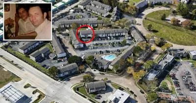
The Texas Killing Fields
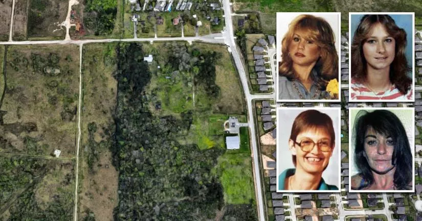
This is the Texas Killing Fields.
It is situated at the corner of Calder Drive and Ervin Street in League City, Texas.
Between 1983 and 1991, an unidentified serial killer dumped the remains of four women in this rural oil field.

Due to the location, the case is sometimes referred to as the Calder Road Killings.
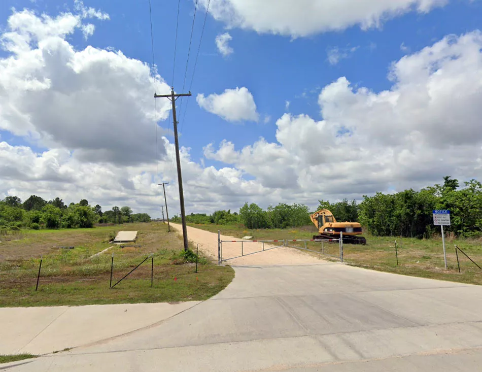
Google Maps shortcut
Victims
The four victims went missing between 1983 and 1991.

Heide Villarreal-Fye was a 23-year-old cocktail waitress who went missing on October 10, 1983. At the time, she was walking to a convenience store near the corner of West Main Street and Hobbs Road in League City. Her skeletal remains were discovered at the site on April 4, 1984.
16-year-old Laura Miller disappeared on September 10, 1984. She was last seen using a pay phone near the exact same store where Villarreal-Fye disappeared.
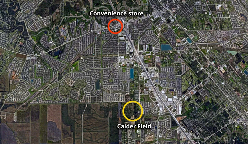
Google Maps shortcut
Audrey Cook (30) went missing at some point in December 1985. Cook was a mechanic by trade. However, by 1985, she had reportedly started using and selling cocaine.
On February 2, 1986, the remains of both Miller and Cook were found in the field.
The last sighting of Donna Prudhomme (34) occurred in July 1991. Her disappearance occurred roughly six years after the previous victim went missing. Prudhomme was a frequent patron of bars along NASA Road 1 in Seabrook, which is just 10 miles away. In 1991, she was living in a nearby town called Nassau Bay. Her remains were found at this site on September 8, 1991.
Cook and Prudhomme were known as Jane Doe and Janet Doe until 2019, when DNA testing finally revealed their true identities.
The fact that Miller and Cook were both found on the same day may have convinced the killer that it was too risky to continue using the site. This may explain the six-year gap between Prudhomme (1991) and the earlier victims (1983-1985).
It is also possible that he was incarcerated, working elsewhere, or busy with life commitments.

Google Maps shortcut
Field
This area was a lot more desolate in the 1980s and 1990s. For example, the neighborhood on the eastern side of Calder Drive wasn't built until recent years.
The official memorial site is situated at the back of Magnolia Creek Baptist Church. However, all of the victims were found in the large wooded oil field behind it.
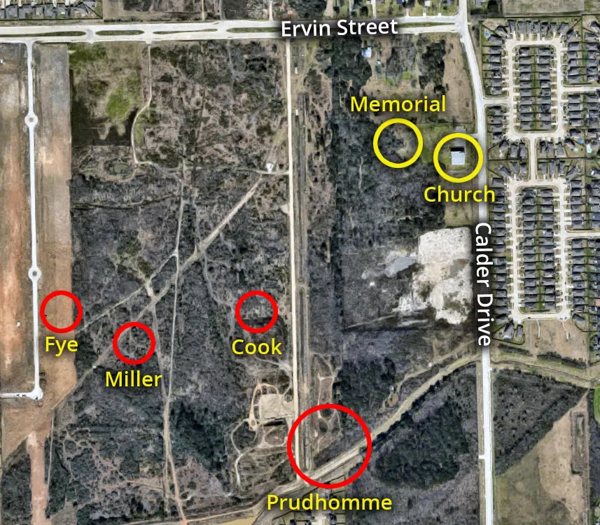
It is likely that the killer chose this area because he was familiar with it. When he picked the location, he knew that the odds of someone disturbing him were very low.

Google Maps shortcut
Multiple serial killers
It is a misconception that the murders were the work of multiple killers.
The FBI believes that one person is responsible for the four victims found in this field, as the odds of two serial killers using the same dumping ground are extremely low.
To put it into perspective, there is currently no known precedent of two serial killers using the exact same spot.

Google Maps shortcut
Over the years, the case has become muddied by attempts to connect other victims to the four women whose bodies were discovered at this field in League City.
For example, the Wikipedia article about the subject lists 14-year-old Lynette Bibbs as a victim even though her body was found in Cleveland, Texas, a town that is 73 miles away.
All in all, it appears as though dozens of victims have been grouped under the umbrella term "the Texas Killing Fields" on the basis that they were all found within a large radius of Interstate Highway 45.
This has created the impression that multiple serial killers used the same plot of land as a dumping ground.
However, the original location has always been this oil field in the 3000 block of Calder Drive.
It was here that the authorities found the remains of Villarreal-Fye, Miller, Cook, and Prudhomme.
It is likely that one person murdered these four women. It is also possible that he is responsible for some of the other killings that occurred along the interstate.
Location
The address and GPS coordinates for the site are as follows:
Address
3535 Calder Drive, League City, Texas, TX 77573, USA
GPS Coordinates
29.465336, -95.111347
29°27'55.21"N 95°06'40.85"W
Get Directions
Open this location in your preferred maps app:
Area Information
League City is situated in the southern metropolitan area of Houston, Texas.
📍 The field is about 0.5 miles west of Interstate Highway 45 in League City. Locals know it as Calder Field. The memorial site for the four victims is situated behind the Magnolia Creek Baptist Church on Calder Drive.
Closest Locations
Other locations that are relatively close to this address:
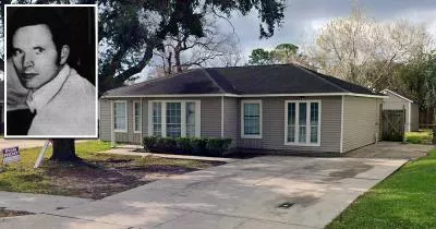
The house where serial killer Dean Corll lived
Roughly 20 miles away.
Serial Killer House in Pasadena, Texas
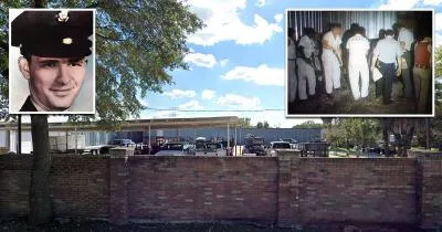
The boat shed where Dean Corll buried 17 of his victims
Roughly 29 miles away.
Crime Location in Houston, Texas
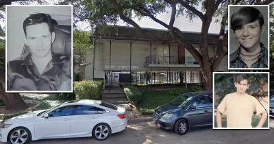
Dean Corll's apartment on Yorktown Street
Roughly 36 miles away.
Serial Killer House in Houston, Texas
