Paul Walker's crash site
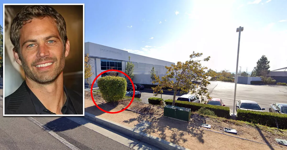
This is the site where Paul Walker died in a car crash.
It is located at 28385 Constellation Road in Valencia, California.
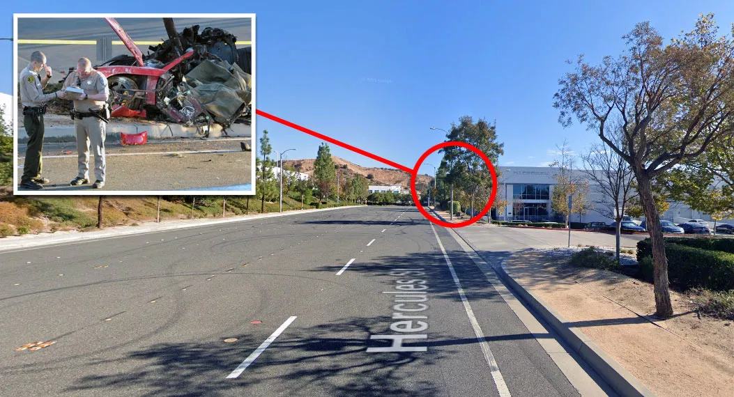
At around 3:30 p.m. on November 30, 2013, the Hollywood actor and his friend Roger Rodas were driving along this street in a 2005 Porsche Carrera GT when the vehicle spun out of control.
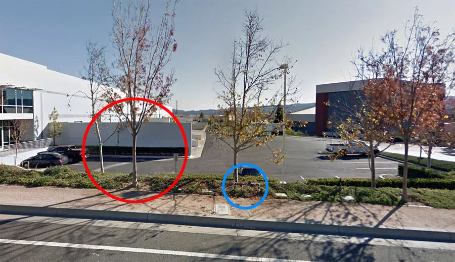
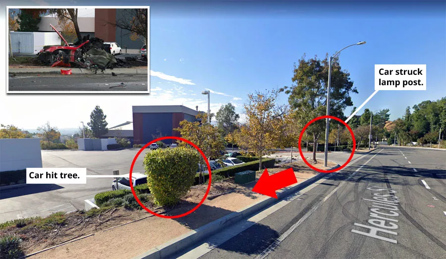
The car struck a lamp post and two trees before bursting into flames.
The Los Angeles County coroner ruled that Walker died due to the combined effects of the impact and the resulting fire.
Investigators determined that the vehicle was driving nearly twice the speed limit. Furthermore, it was fitted with two nine-year-old tires. Although the mileage on the car was low, it is possible that the tires had become overcured and hard over time.
That day, the pair were attending a charity event called Winter Drive at 28309 Constellation Road. Winter Drive was marketed as an "automotive event" and toy drive. Walker's charity, Reach Out Worldwide, was one of the main organizers.
At approximately 3:20 p.m., Walker and Rodas decided to take the Porsche for a test drive. The vehicle was owned by Rodas' racing store, which had purchased it in the spring of 2013.
After heading west along Constellation Road, the pair turned right and continued northbound on Kelly Johnson Parkway.
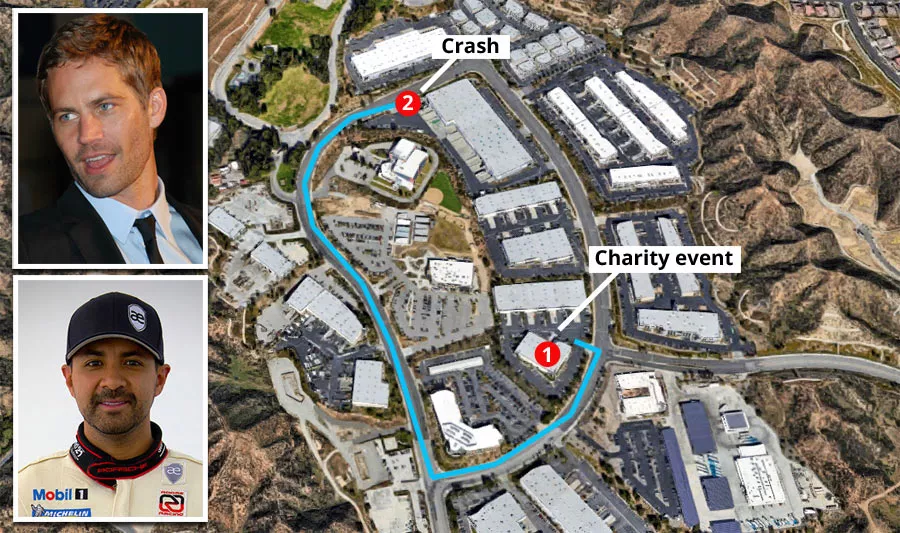
It appears as though Rodas lost control of the Porsche shortly after they turned onto Hercules Street.
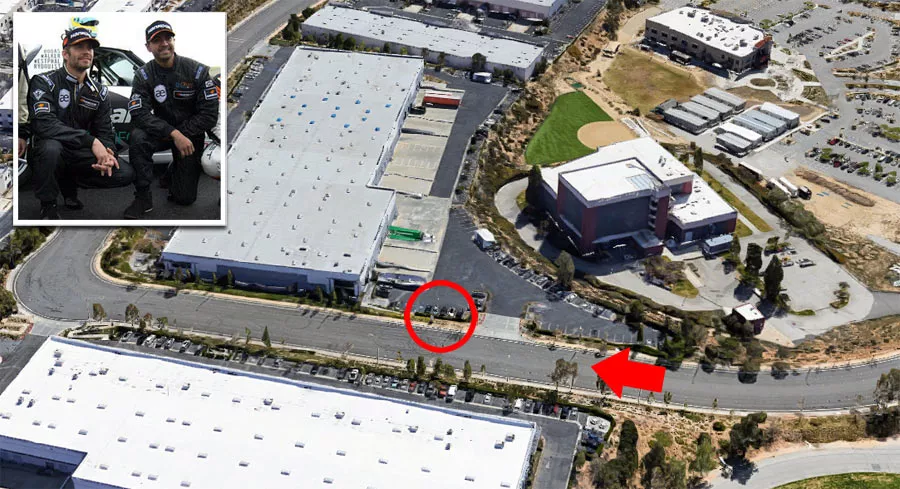
Car experts have said that the 2005 Porsche Carrera GT can be difficult to drive because it lacks electronic stability control. This, coupled with the old tires, may have played a role in the crash.
Location
The address and GPS coordinates for the site are as follows:
Address
28385 Constellation Road, Valencia, CA 91355, USA
GPS Coordinates
34.453304, -118.578954
34°27'11.89"N 118°34'44.23"W
Get Directions
Open this location in your preferred maps app:
Area Information
Valencia is a neighborhood in Santa Clarita, which lies to the north of Los Angeles.
📍 The road is in a business park on the northwestern outskirts of Santa Clarita.
Closest Locations
Other locations that are relatively close to this address:
Crime Location · Los Angeles, California
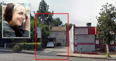
The house where child actress Judith Barsi was murdered
Roughly 19 miles away
Filming Location · Reseda, California
Daniel LaRusso's apartment from The Karate Kid (1984)
Roughly 21 miles away
Place of Interest · Tarzana, California
The salon where Britney Spears shaved her head
Roughly 25 miles away
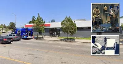
Crime Location · North Hollywood, California
North Hollywood shootout location
Roughly 26 miles away