Site of the 1975 Gerald Ford assassination attempt
This is the location where Lynette "Squeaky" Fromme attempted to assassinate US President Gerald Ford.
It is situated near the northern entrance to California State Capitol Park in Sacramento, California.
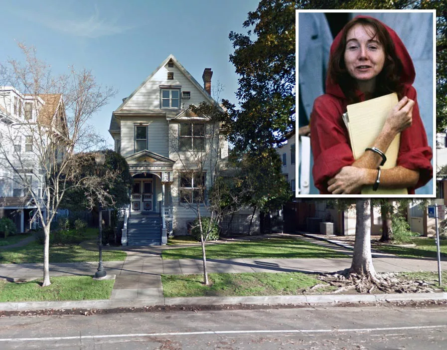
Fromme was a member of the notorious Manson Family. She had moved to Sacramento to be closer to the cult's leader, Charles Manson, following his transfer to Folsom State Prison.
Google Maps shortcut
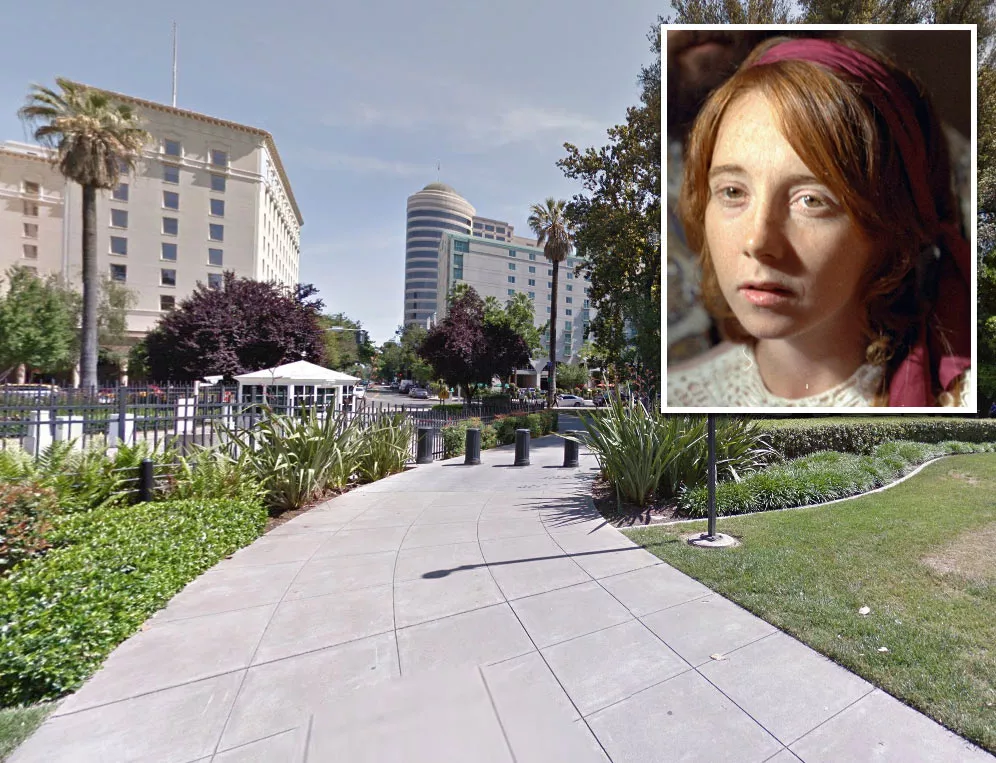
On the morning of September 5, 1975, Fromme dressed in a red, free-flowing robe that allowed her to conceal a Colt M1911 .45 pistol in a leg holster.
She had obtained the weapon from a friend named Harold Boro. Shortly before the incident, she told Boro that she needed it for protection because the Manson Family had "a lot of enemies."
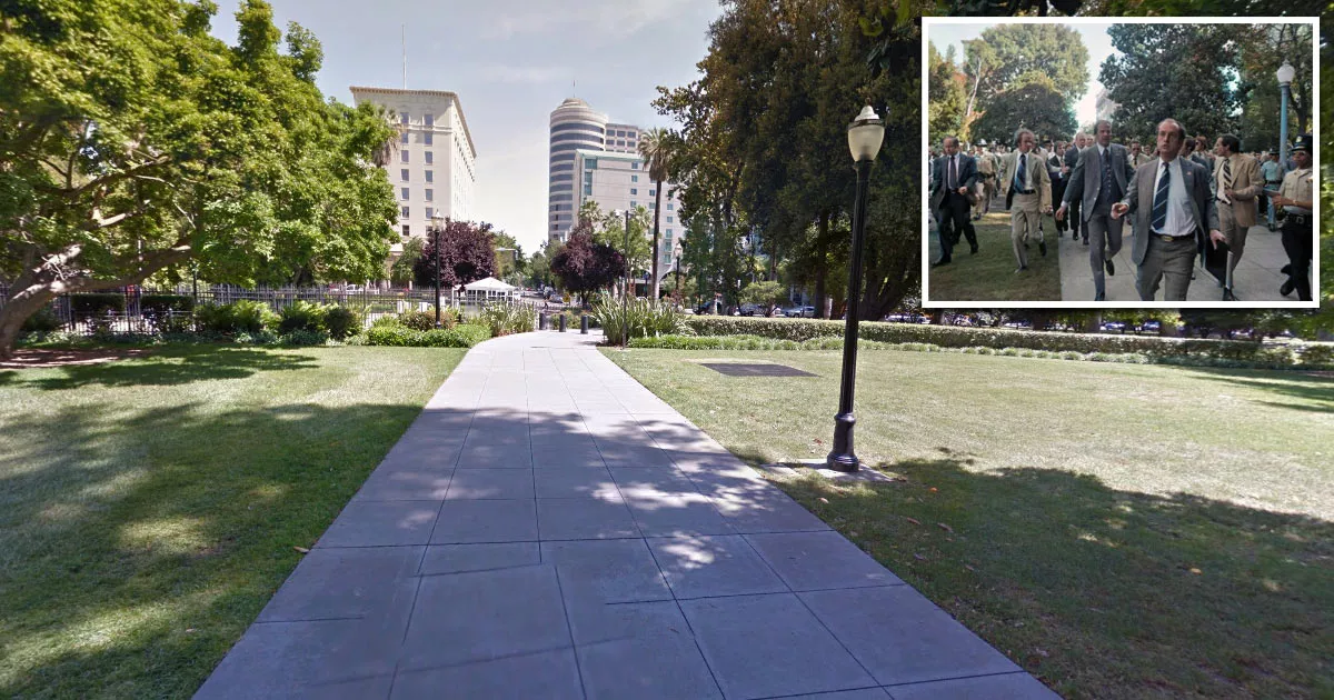
Shortly after 10 a.m., President Ford left the Senator Hotel at 1121 L Street and entered the park.
That morning, crowds of people gathered along the pathway to catch a glimpse of the president.
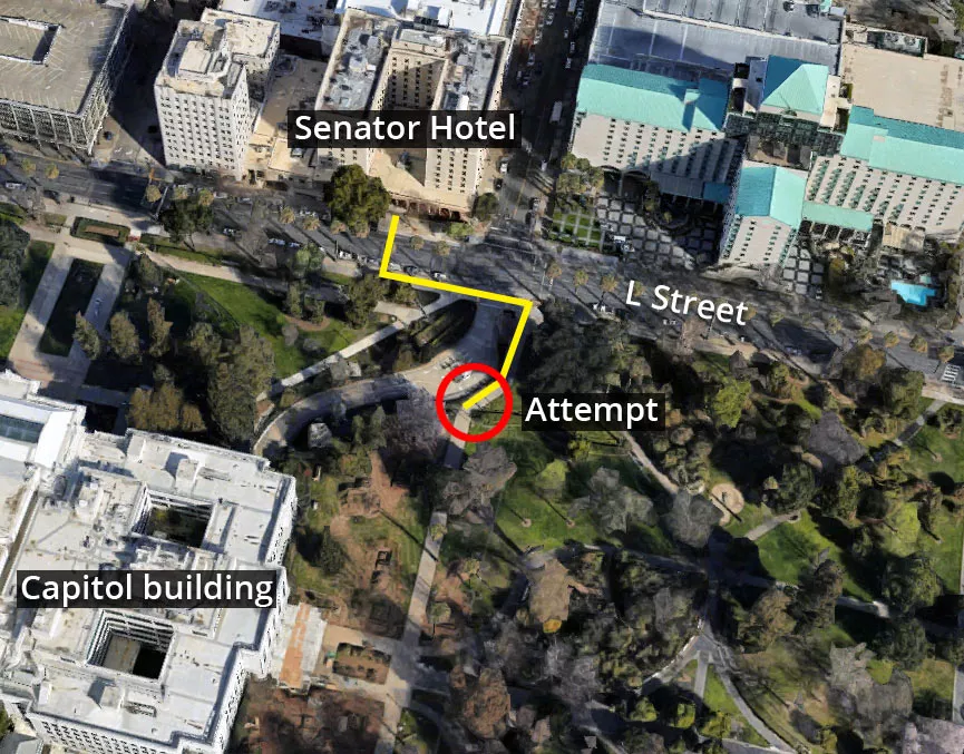
Ford shook hands with people and continued walking southward until he reached this section of the path.
Suddenly, he noticed a hand extending from the crowd, holding a gun.
Although Fromme pulled the trigger, the weapon failed to fire because there wasn't a round in the chamber.
Upon hearing the metallic "click," a nearby Secret Service agent named Larry Buendorf immediately wrestled her to the ground.
As Fromme was being arrested, she expressed surprise that the gun had misfired:
"It didn't go off. Can you believe that? It didn't go off."
Following the incident, Ford continued toward the state capitol building, where he met with California Governor Jerry Brown. The two men did not discuss the failed attempt until after they finished their scheduled business.
On November 19, 1975, Fromme was found guilty of trying to assassinate Ford. One month later, she was sentenced to life in prison.
She was released in August 2009 after spending nearly 37 years behind bars.
Location
The address and GPS coordinates for the park are as follows:
Address
1300 L Street, Sacramento, CA 95814, USA
GPS Coordinates
38.576979, -121.491934
38°34'37.12"N 121°29'30.96"W
Get Directions
Open this location in your preferred maps app:
Area Information
The park is situated in the downtown district of Sacramento.
📍 The failed attempt occurred roughly 150 feet south of the northern entrance, near the intersection of L Street and 12th Street.
Map Viewer
There is more than one location associated with this entry. To view these places on one map, you can use the following feature:
Closest Locations
Other locations that are relatively close to this address:
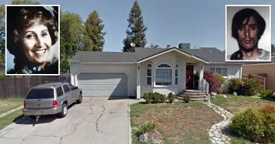
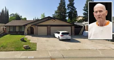
Murder House · Sacramento, California
The house where Richard Chase murdered four people
Roughly 8 miles away.
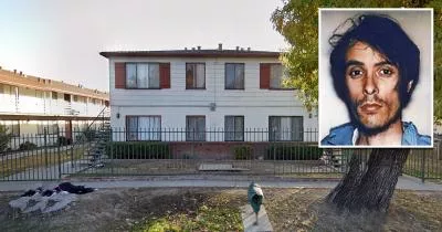
Crime Location · Sacramento, California
The church where Richard Chase dumped the body of David Ferreira
Roughly 8 miles away.
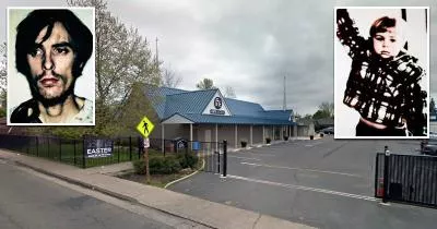
Serial Killer House · Citrus Heights, California
The Golden State Killer's house
Roughly 20 miles away.