2022 Sacramento shooting location
Crime Scene Location in Sacramento, California
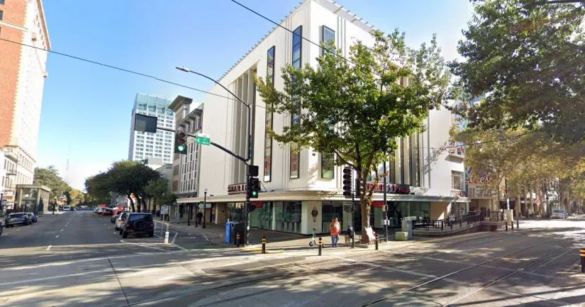
This is the location where a gang shooting claimed the lives of six people.
In the early hours of April 3rd, 2022, at least five gunmen opened fire at the corner of 10th Street and K Street in downtown Sacramento.
Three men and three women were killed in the shooting. Twelve others were also injured.
Video footage from Twitter showed that a large fight broke out just before the gunfire started. However, it is believed that the two events were not connected.
During the incident, gunshots rang out for roughly 40 seconds, leaving behind more than 100 shell casings.
When the two rival street gangs opened fire on each other, a number of innocent victims were caught in the crossfire.
On April 4th, 2022, it was reported that two brothers, Dandrae Martin and Smiley Martin, had been arrested in connection with the crime. Smiley was seriously injured at the scene and taken to the hospital, where he was identified as a suspect.
Eight days later, the police identified 27-year-old Mtula Payton as the third shooter.
One of the dead victims was an associate of the two Martin brothers. At least two of the other dead victims were affiliated with a rival street gang.
57-year-old Melinda Davis was an innocent homeless woman who was killed in the crossfire.
On May 3rd, 2022, the Martin brothers and Payton were charged with three counts of murder.
Sacramento gang shooting location
The address and the GPS coordinates for this location are as follows:
Address
10th Street, Sacramento, California, CA 95814, USA
GPS coordinates
The latitude and longitude coordinates for the street are:
38.579239, -121.493836
Photos
Photos of the street and other related images.
Fight location

Cellphone footage shows that a large group of people were fighting outside of this building just before the shooting started. However, the crowd dispersed and started running south along 10th Street as soon as the gunfire erupted.
The two events were not related. Judging by the video footage, it seems as though the gunfire broke out further north, on K Street. Therefore, it seems likely that the fight at this particular location was a completely separate event.
There are three or four different nightclubs in this area, all of which close at 2 a.m.
When crowds of drunk people pour out onto the streets at the exact same time, separate altercations can occur in multiple places.
Coordinates: 38.578846, -121.494064
10th Street

At least one of the shooters fired from this location on 10th Street. In the inset photograph on the right, you can see that the police marked off dozens of bullet casings.
Broken glass from one of the window panes on the left is also scattered across the sidewalk. This suggests that the shooter was exchanging fire with someone who was north of their position.
This theory is supported by video footage of the incident. At the start of one video that was uploaded to Twitter, the gunshots appear to be coming from a location that is close to the intersection between 10th Street and K Street. However, soon after, you can hear someone firing from this location toward the south.
Coordinates: 38.578761, -121.494274
K Street

At least three of the victims were shot on the sidewalk outside of Sharif Jewelers. This is on the northeast side of the intersection between 10th Street and K Street.
Videos and photographs from different angles show that the police were administering CPR to a number of victims on this sidewalk.
Coordinates: 38.579245, -121.493816
Sacramento shooting map

This aerial map of downtown Sacramento shows some of the locations in question.
Although we were unable to pinpoint the exact location where the shooting broke out, it appears as though it started somewhere near the intersection of 10th Street and K Street.
This is because a) multiple victims were shot on that corner, b) onlookers near the fight (the yellow dot) decided to flee southward, and c) a large amount of bullet casings were scattered along the sidewalk on the western side of Sharif Jewellers.
A couple of seconds after the violence erupted, a gunman near the red dot opened fire. It seems as though he was originally involved in the altercation at K Street and that he fled southward on 10th Street during the chaos.
The red dot was close to a large metal transformer box and an SUV. The red-dot shooter may have been running south when he realized that this particular area provided him with enough cover to stop and return fire.
In some of the crime scene photographs, you can see that a store window by the red dot has been smashed. This indicates that a gunman to the north fired at least one bullet at the red-dot shooter.
The corner of 10th Street and J Street

The inset photograph shows police attending to a victim outside of Rodney's Cigar & Liquor Store. This is at the intersection of 10th Street and J Street, which is further north.
It is unknown whether the victim was shot at this location or if they ran north and then collapsed here.
Coordinates: 38.580146, -121.493489
Victim

The inset photograph shows the coroner's office removing a victim's body from the northwestern side of the intersection between 10th Street and J Street.
Two of the victims fell in this general area. Therefore, it is possible that the shooters continued up 10th Street.
The other possibility is that some of the injured victims ran up 10th Street after the shooting and then collapsed near this junction.
All in all, this was an extremely chaotic crime scene. As a result, it will be quite difficult for the authorities to piece together an exact timeline of events.
Coordinates: 38.580325, -121.493343
This location belongs to the following categories:
Crime ScenesClosest Locations
Other locations that are relatively close to this address:
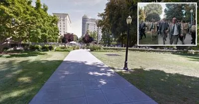
The location where Lynette Fromme tried to assassinate US President Gerald Ford
Less than a mile away.
Crime Location in Sacramento, California
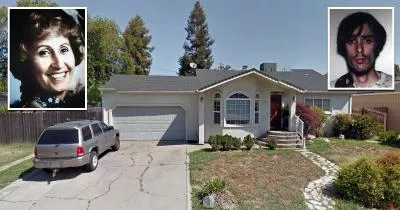
The house where Richard Chase murdered four people
Roughly 8 miles away.
Murder House in Sacramento, California
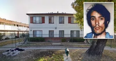
The church where Richard Chase dumped the body of David Ferreira
Roughly 8 miles away.
Crime Location in Sacramento, California
The Golden State Killer's house
Roughly 20 miles away.
Serial Killer House in Citrus Heights, California
