Ryan Dunn's crash site
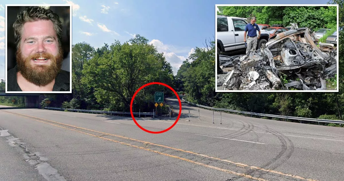
This is the site where actor Ryan Dunn died in a car crash.
It is located at Exit 22 on the West Chester Bypass in West Chester, Pennsylvania.

In the early hours of June 20, 2011, the "Jackass" stunt performer was driving along this section of the bypass when he lost control of his vehicle and crashed into a tree.
Both Dunn (34) and his passenger, Zachary Hartwell (30), died from the impact and ensuing fire.
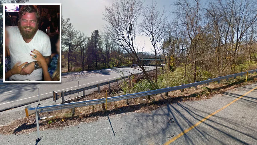
Earlier that day, the pair had been drinking at a bar called Barnaby's. Dunn's autopsy report showed that his blood alcohol level was twice the legal limit.
Despite his BAC level, he did not appear to be "visibly" drunk. Eyewitness accounts and surveillance footage do not indicate that he was highly intoxicated. However, this may have been due to his alcohol tolerance.

Google Maps shortcut
Dunn's blood alcohol content (BAC) was measured at 0.196%. At this level, most individuals show clear signs of intoxication. Many will experience memory loss or require assistance with basic movement.

It is likely that both speed and alcohol played a role in the accident. Investigators estimated that his Porsche 911 GT3 was traveling more than 132 miles per hour (212 km/h) when he lost control and swerved off the road.
At that point, the vehicle crashed through a guardrail, hit a tree, and burst into flames.
The car hit the tree with such force that it crumpled up and broke into pieces. Emergency responders later arrived to find it engulfed in flames.
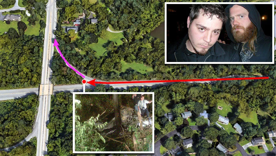
The incident occurred at 2:38 a.m. At the time, they were en route to Hartwell's house, which was just 100 yards north of the exit.
This suggests that Dunn may have lost control while he was attempting to take the turnoff.
Address
The address and GPS coordinates for the site are as follows:
Address
West Chester Bypass, West Chester, PA 19380, USA
GPS Coordinates
39.973666, -75.613676
39°58'25.20"N 75°36'49.23"W
Get Directions
Open this location in your preferred maps app:
Area Information
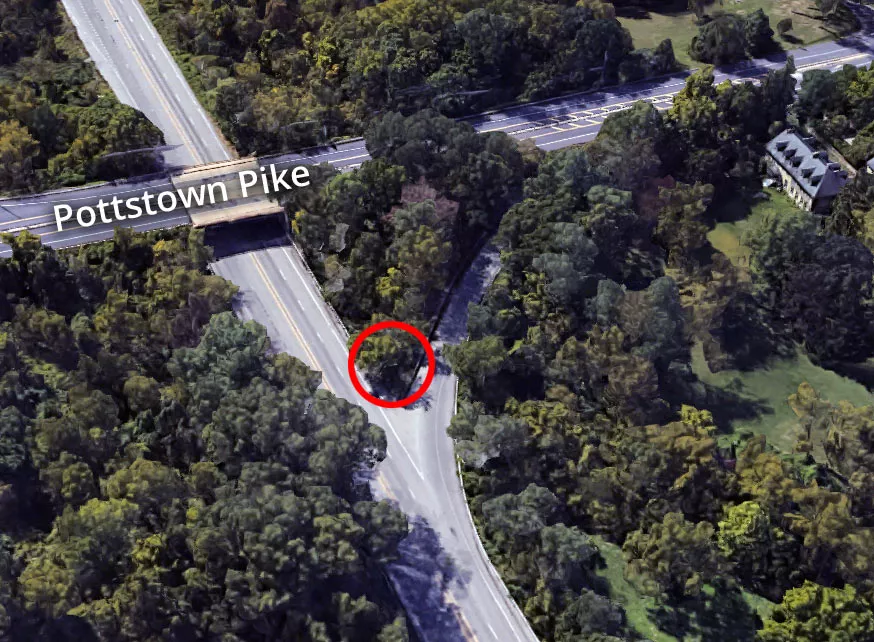
📍 The crash site is situated on Route 322, which is north of West Chester. The vehicle struck a barrier at the westbound exit (Exit 22) for Pottstown Pike. Please note that this is not a safe place to stop.
Map Viewer
There is more than one location associated with this entry. To view these places on one map, you can use the following feature:
This location belongs to the following categories:
CelebritiesClosest Locations
Other locations that are relatively close to this address:
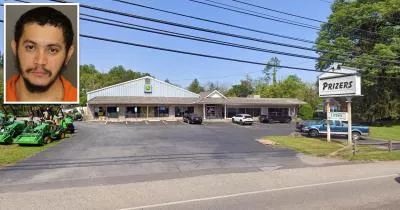
The location where Danelo Cavalcante was captured
Roughly 16 miles away.
Arrest Location in Pottstown, Pennsylvania

The house where Ted Bundy lived in Pennsylvania
Roughly 26 miles away.
Serial Killer House in Lafayette Hill, Pennsylvania

Ted Bundy's grandparents' house
Roughly 26 miles away.
Serial Killer House in Philadelphia, Pennsylvania

The location where Joseph Augustus Zarelli was found
Roughly 37 miles away.
Crime Location in Philadelphia, Pennsylvania
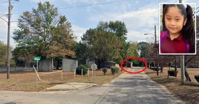
The location where Dulce Maria Alavez went missing
Roughly 52 miles away.
Crime Location in Bridgeton, New Jersey