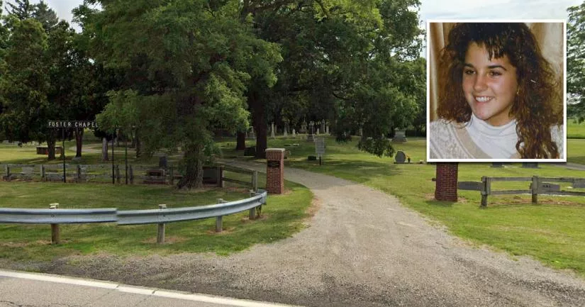
The cemetery where Jessica Keen was murdered
This is the cemetery where Jessica Keen was murdered.
It is called Foster Chapel Cemetery, and it is situated on NE Plain City-Georgesville Road in Plain City, Ohio.
Keen was a 15-year-old cheerleader who started struggling at school after she began dating an older high school dropout named Shawn Thompson.
When she quit cheerleading and her grades suffered, her parents decided to check her into Huckleberry House, a shelter for troubled and at-risk teenagers in Columbus.
Keen's parents hoped that the counseling sessions at the crisis center would help their daughter get her life back on track.
Sadly, it wasn't to be.
On the evening of March 16th, 1991, the teenager disappeared from a COTA bus stop near Summit Street in the Weinland Park neighborhood of Columbus, just one day before she was due to return home. The following day, her body was found in this cemetery in Madison County, roughly 18 miles away.
She had been raped and beaten to death with a piece of a gravestone.
It is believed that Keen managed to escape from her abductor at the cemetery and hide behind the headstones. However, the killer caught her when she attempted to flee through a fence at the back.
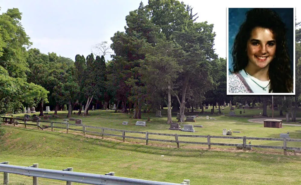
Although Keen's boyfriend quickly became the prime suspect in her murder, DNA evidence eventually ruled him out.
As a result, the case went cold for 17 years.
In April 2008, it was announced that a convicted rapist named Marvin Lee Smith Jr. had been arrested for Keen's murder.
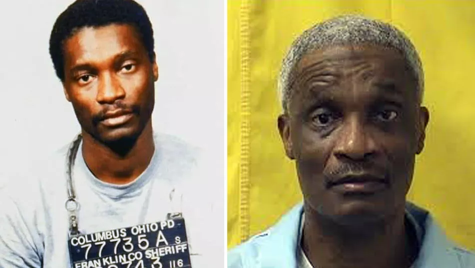
During the mid-late 1990s, the state of Ohio began collecting DNA samples from inmates who had been convicted of violent crimes. The trace evidence from Keen's crime scene proved to be a match with Smith's DNA.
In February 2009, Smith agreed to plead guilty to murder in order to avoid the death penalty. Two months later, he was sentenced to 30 years to life in prison.
Foster Chapel Cemetery
The address and GPS coordinates for the cemetery are as follows:
Address
NE Plain City-Georgesville Rd, Plain City, Ohio, OH 43064, USA
GPS Coordinates
39.995457, -83.263307
39°59'43.65"N 83°15'47.91"W
Get Directions
Open this location in your preferred maps app:
Area Information
The cemetery is about fives miles west of Columbus, Ohio.
This location belongs to the following categories:
Crime ScenesClosest Locations
Other locations that are relatively close to this address:
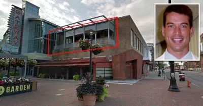
The bar where Brian Shaffer went missing
Roughly 17 miles away.
Last Seen Location in Columbus, Ohio
