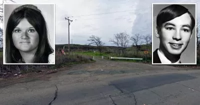
The location where the Zodiac Killer reported the Blue Rock Springs shooting
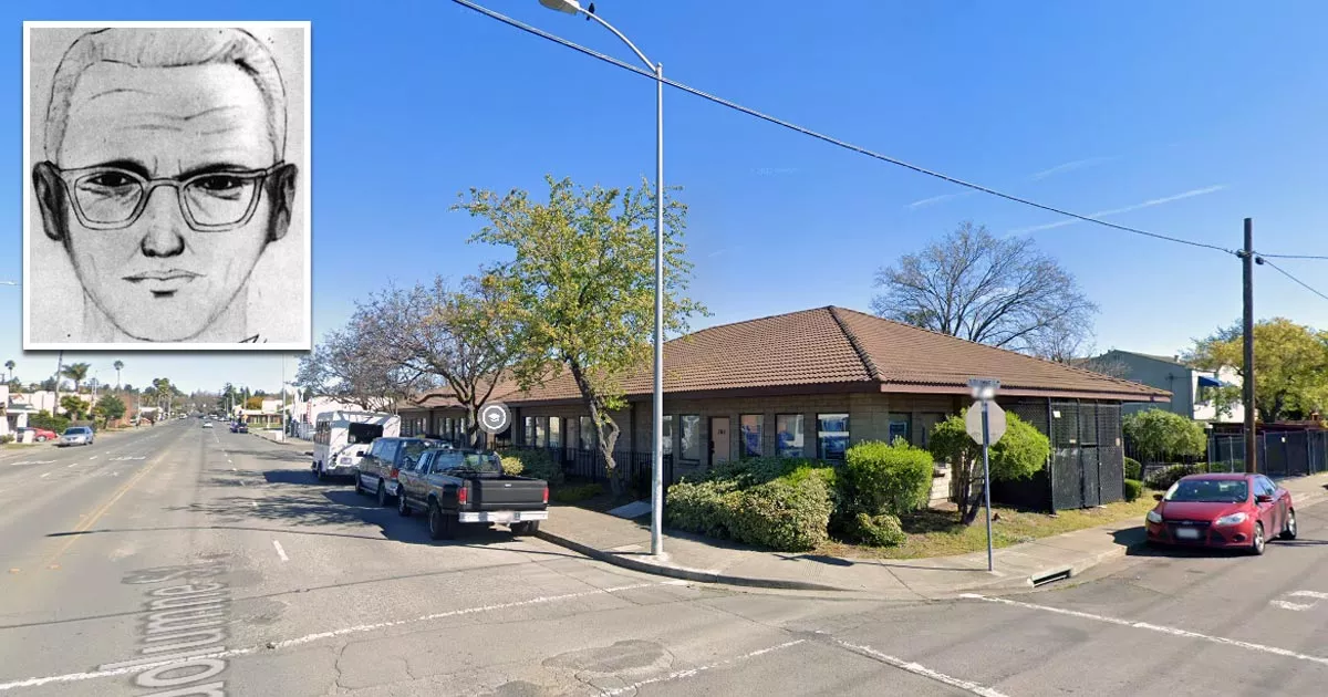
This is the location where "the Zodiac Killer" anonymously called the police.
At the time, this corner was home to a gas station. These days, it is a nursery school.
Shortly after shooting Darlene Ferrin and Michael Mageua, the killer used a payphone at this location to claim responsibility for the attack.
He also admitted that he had murdered Betty Lou Jensen and David Faraday on Lake Herman Road seven months earlier.
The following is a summarized transcript of the call:
"I want to report a double murder. If you go one mile east on Columbus Parkway to the public park, you will find the kids in a brown car. They were shot with a 9mm Luger. I also killed those kids last year. Goodbye."
After the call ended, the police traced it back to the corner of Springs Road and Tuolumne Street.
This was the first known instance of the Zodiac Killer reaching out to communicate about his crimes.
This location is 3.7 miles away from the parking lot where he shot Ferrin and Mageua. Google Maps data suggests it would have taken him roughly 8-10 minutes to travel between the two sites.
The phone call was made at 12:40 a.m., which was roughly 40 minutes after the shooting took place. Given the distance involved, it means that he spent 30 minutes somewhere else.
Notably, this corner is just a short walk away from where a suspect named Arthur Leigh Allen was living at the time.
If it was Allen, then he may have returned home, changed his clothes, and then walked to the payphone.
In one of his letters, the Zodiac Killer mentioned the call. He also seemed intent on letting the police know that his car had been spotted by an unidentified witness.
This has led to speculation that he was trying to mislead the authorities by suggesting that he had driven to the gas station instead of walking to it.
Location
The address and GPS coordinates for the corner are as follows:
Address
700 Tuolumne Street, Vallejo, CA 94590, USA
GPS Coordinates
38.106260, -122.238117
38°06'22.54"N 122°14'17.22"W
Get Directions
Open this location in your preferred maps app:
Closest Locations
Other locations that are relatively close to this address:
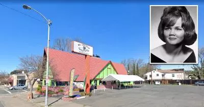
The IHOP where Darlene Ferrin worked
Less than a mile away.
Place of Interest in Vallejo, California
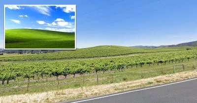
The location where the "Bliss" wallpaper for Windows was taken
Roughly 17 miles away.
Photo Location in Sonoma, California