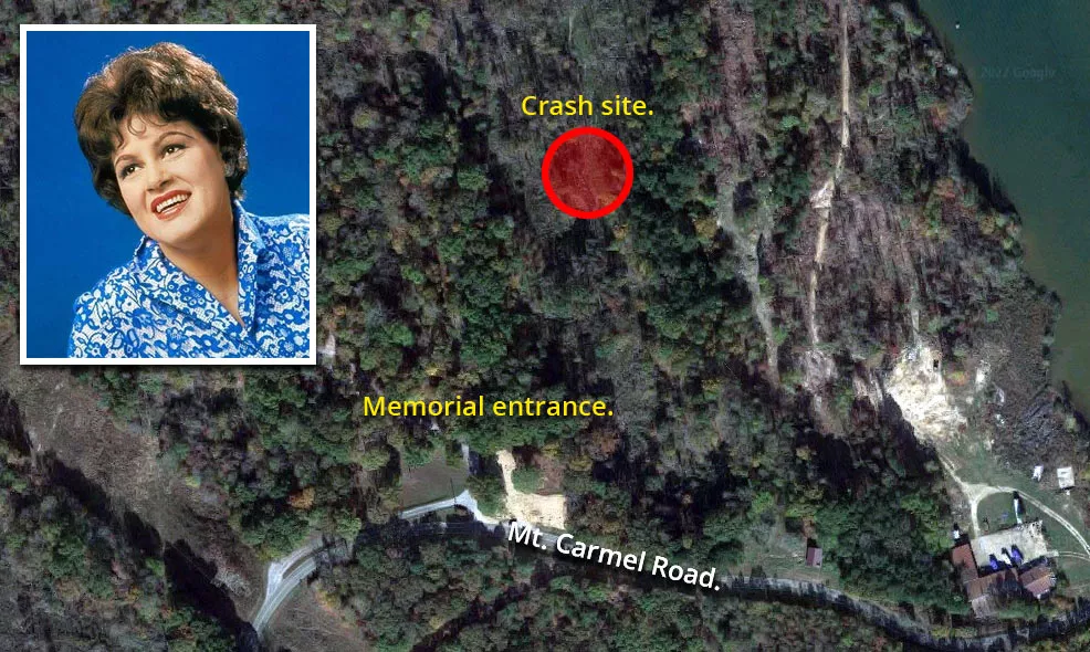
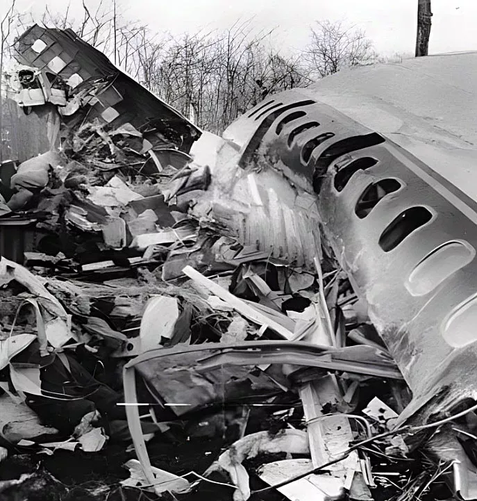
Patsy Cline's crash site

This is the location where singer Patsy Cline died in a plane crash.
It is situated at 2082 Mount Carmel Road in Camden, Tennessee.
The crash site is situated roughly 200 yards from the entrance. A sign on the pathway asks visitors to remain silent out of respect.
On the afternoon of March 5, 1963, Cline and two other country music performers named Cowboy Copas and Hawkshaw Hawkins took off from Fairfax Municipal Airport in Kansas City.
Their intended destination was their hometown of Nashville, Tennessee.
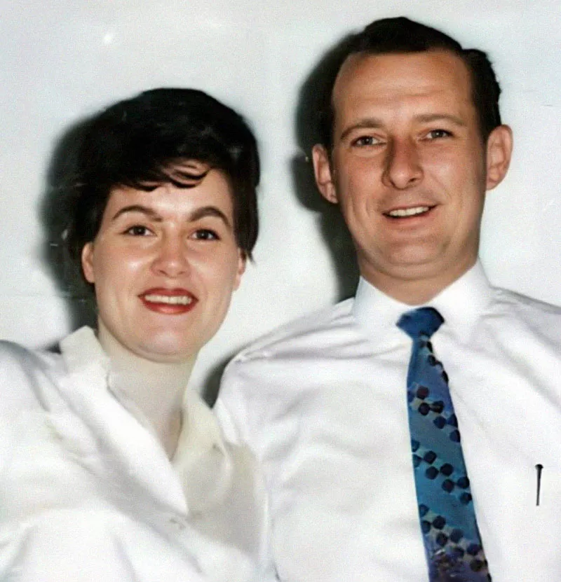
That day, the group boarded a small Piper PA-24 Comanche plane that was being piloted by Cline's manager, Randy Hughes.
Hughes held a private license, but he lacked the experience and training to fly in poor visual conditions.
During a quick stop in Dyersburg, Hughes was warned about high winds and poor visibility along his intended route. He was also told that the weather conditions in Nashville were below the minimum level that is required for visual flights.
The group was offered food and shelter for the night. However, after consulting the three musicians, Hughes decided to continue eastward toward Nashville. Before leaving, he told one airport employee that he'd return if conditions worsened.
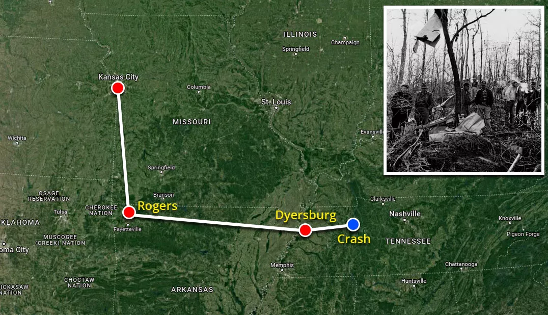
Shortly after the group left, a witness near Camden saw a plane descending at a 45-degree angle. A few minutes later, it crashed into this forested area near Highway 70.
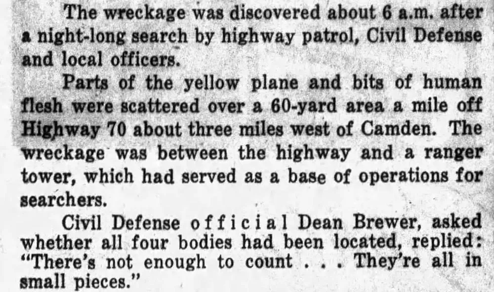
Cline, Hughes, Copas, and Hawkins were instantly killed.
The plane hit the ground at approximately 175 miles per hour and was completely destroyed. Its debris was scattered across a 22,000-square-foot area.
That night, TV and radio stations around the country broadcast news of the aircraft's disappearance.
Country singer Roger Miller, who was a friend of Cline's, was reportedly one of the first people to discover the wreckage. After hearing about the plane's disappearance, he drove from Nashville to Camden to take part in the search.
Miller said he ran through the forest and found the plane, which had crashed nose-down.
Investigators determined that the accident was most likely caused by Hughes' inexperience, as there was no evidence of a mechanical failure or anything that might suggest the aircraft wasn't operating normally.

Shortly after taking off from Dyersburg, he encountered poor weather conditions that prevented him from being able to see the ground.
When he finally exited the clouds and realized which direction he was flying, it was already too late. By that stage, the plane was hurtling downward.
Location
The address and GPS coordinates for the site are as follows:
Address
2082 Mount Carmel Road, Camden, TN 38320, USA
GPS Coordinates
36.062159, -88.160563
36°03'43.77"N 88°09'38.03"W
Get Directions
Open this location in your preferred maps app:
Area Information
📍 The entrance to the memorial site is situated on Mount Carmel Road, which is about one mile north of Highway 70. It is roughly two miles west of Camden, Tennessee.
Categories
CelebritiesClosest Locations
Other locations that are relatively close to this address:
Crime Location · Athens, Alabama
The house where Andrew Lackey murdered Charles Newman
Roughly 136 miles away.

Filming Location · Cape Girardeau, Missouri
Nick and Amy Dunne's house from Gone Girl (2014)
Roughly 146 miles away.
Death Location · Memphis, Tennessee
The store where rapper Young Dolph was shot dead
Roughly 154 miles away.
Place of Interest · Memphis, Tennessee
The studio where Elvis Presley recorded his first record
Roughly 154 miles away.
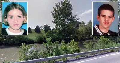
Crash Site Location · Sparta, Tennessee
The site where Erin Foster and Jeremy Bechtel crashed
Roughly 190 miles away.