Steven Hiller's house from Independence Day (1996)
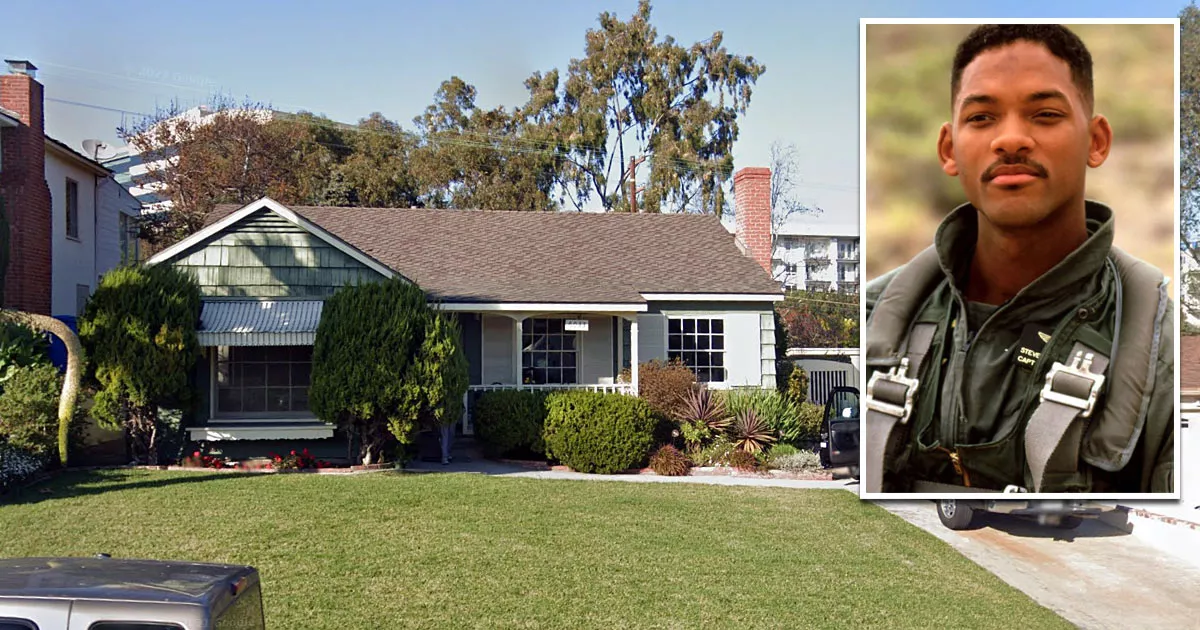
This is Captain Steven Hiller's house from the sci-fi film Independence Day (1996).
It is located at 6033 West 74th Street in the Westchester neighborhood of Los Angeles, California.
The house is owned by Hiller's girlfriend, Jasmine Dubrow.
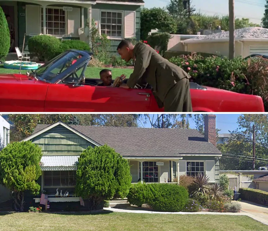
When Hiller wakes up and looks out his bathroom window, he notices that his neighbors are hurriedly loading their belongings into a station wagon. Unaware that an alien spaceship is floating above Los Angeles, he assumes that they've become unnerved by the region's earthquakes.

Google Maps shortcut
Moments later, he walks outside to pick up the newspaper and realizes that there is a lot of commotion in the neighborhood.

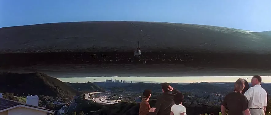
After looking up at the sky, he sees the spaceship floating above Los Angeles.
Hiller is later called in for duty, much to Dubrow's worry. As he is preparing to leave, she shouts at him and demands that he "call them back" and refuse to go.

She is understandably alarmed that her fighter-pilot boyfriend has to immediately report to El Toro at a time when an enormous alien spaceship is hovering above the city.

Although she is clearly angry about the situation, she also doesn't want Hiller to leave on bad terms. Before he gets in his car, she runs out to him and tells him to be careful. The couple then make up before agreeing to meet up later at the airbase.
Address
The address and GPS coordinates for the house are as follows:
Address
6033 W 74th St, Los Angeles, CA 90045, USA
GPS Coordinates
33.974181, -118.390498
33°58'27.05"N 118°23'25.79"W
Get Directions
Open this location in your preferred maps app:
Area Information
Westchester is a neighborhood that lies to the north of Los Angeles International Airport (LAX).
📍 It is 370 yards (340 meters) west of the intersection between the northbound lane of South Sepulveda Boulevard and West 74th Street.
Private Property Warning
This is private property, not a public space. Please respect the owners and do not enter without permission. Entry without permission is trespassing and may be met with legal or other serious consequences.
Map Viewer
There is more than one location associated with this entry. To view these places on one map, you can use the following feature:
Closest Locations
Other locations that are relatively close to this address:
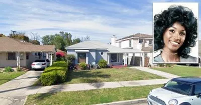
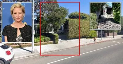
Death Location · Los Angeles, California
The house where actress Teresa Graves died in a fire
Roughly 4 miles away.
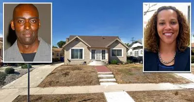
Crime Location · Los Angeles, California
The house where actor Michael Jace killed his wife
Roughly 4 miles away.
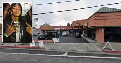
Crime Location · Los Angeles, California
The location where Nipsey Hussle was killed
Roughly 4 miles away.
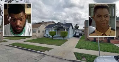
Filming Location · Los Angeles, California
Tre's house from Boyz n the Hood (1991)
Roughly 5 miles away.