Map: Tupac Shakur's shooting location
East Flamingo Road, Las Vegas, NV 89109
The intersection and its related locations are marked below.
GPS Coordinates
36.114387, -115.164320
36°06'51.79"N 115°09'51.55"W
Get Directions
Open this location in your preferred maps app:
Main Article
The map above belongs to the following article:
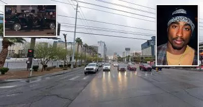
The location where Tupac Shakur was shot
Shooting Location in Las Vegas, Nevada
On September 7, 1996, Tupac Shakur was fatally wounded in a drive-by shooting at this intersection in Las Vegas.
The rapper died from his injuries six days later.
Related Locations
The following locations are related to the intersection. Please note that the descriptions for these images may lack context if you have not read the main article.
The Carriage House
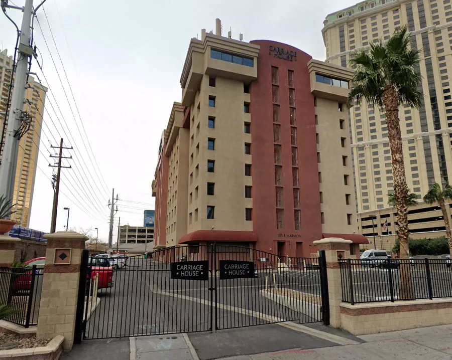
Davis' crew was staying in the Carriage House at 105 East Harmon Avenue.
Shakur's final photograph
Jefferson took the last known photograph of Shakur just minutes before the shooting. In the image, the rapper is wearing a green and white 1996 Nike basketball jersey.
Club 662
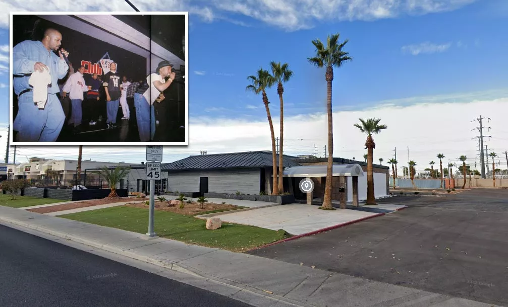
Knight owned Club 662 at 1700 East Flamingo Road. An after-fight party was planned that night, and Shakur was due to perform at midnight.
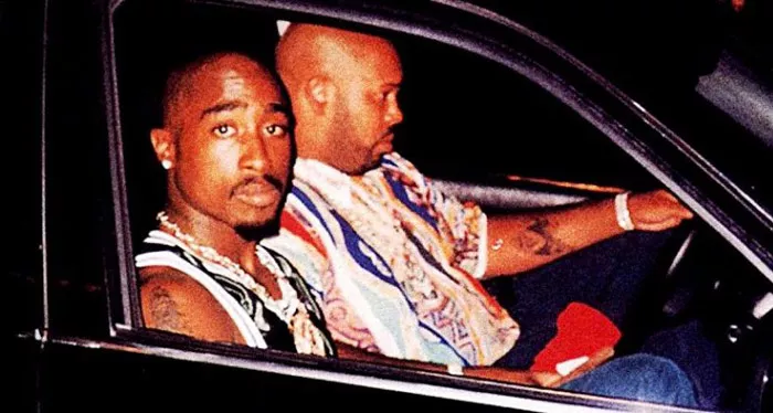
The intersection that Suge drove to after the shooting
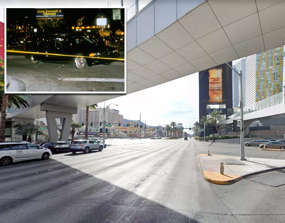
Knight was pulled over at the corner of Las Vegas Boulevard and Harmon Avenue. The photographs of Shakur's BMW were taken at this location, not the intersection where he was shot.
University Medical Center on Wellness Way
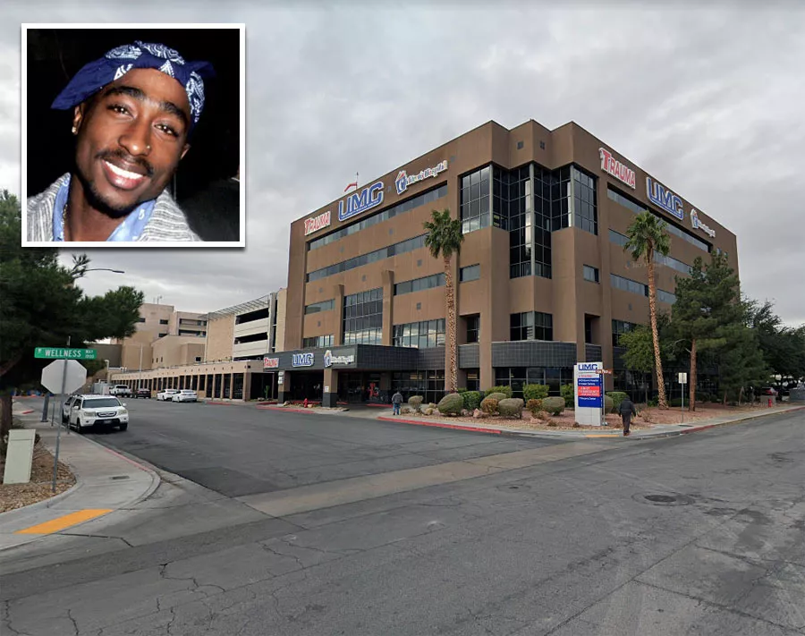
University Medical Center in 2022.
Follow
Follow us on social media: