Map: The site where Jesse James was killed
1318 Lafayette Street, St. Joseph, MO 64503
The site and its related locations are marked below.
GPS Coordinates
39.757893, -94.844072
39°45'28.41"N 94°50'38.66"W
Get Directions
Open this location in your preferred maps app:
Main Article
The map above belongs to the following article:
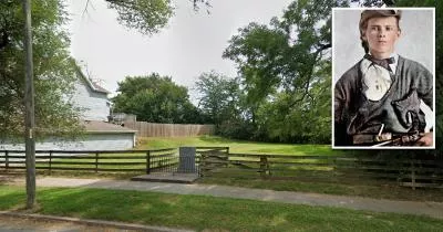
Historical Site · St. Joseph, Missouri
The site where outlaw Jesse James was shot dead
In April 1882, American outlaw Jesse James was shot dead at this location on Lafayette Street in St. Joseph, Missouri.
The gunman was a gang associate named Bob Ford, who hoped to claim a reward for killing the wanted fugitive.
Related Locations
The following locations are related to the site. Please note that the descriptions for these images may lack context if you have not read the main article.
Jesse James' house
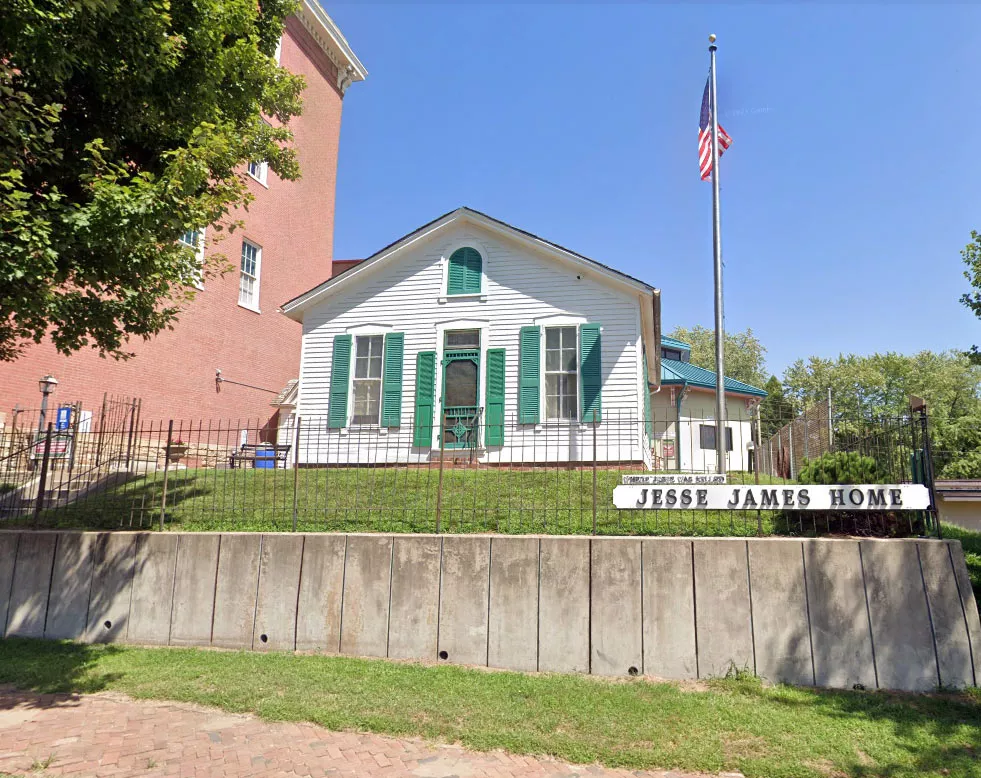
Image source: Google Maps
The house is now located on the grounds of the Patee House museum, which is a five-minute walk away.
Follow
Follow us on social media: