Home » The inn where Gram Parsons died » Map
Map: The inn where Gram Parsons died
61259 29 Palms Highway, Joshua Tree, CA 92252
The inn and its related locations are marked below.
This location
Place of interest
GPS Coordinates
34.134403, -116.326921
34°08'03.85"N 116°19'36.92"W
Get Directions
Open this location in your preferred maps app:
Main Article
The map above belongs to the following article:
The inn where Gram Parsons died
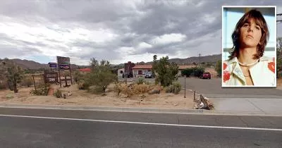
Death Location in Joshua Tree, California
In September 1973, singer Gram Parsons died of an overdose at the Joshua Tree Inn in California.
His body was later cremated at Cap Rock in Joshua Tree National Park.
Related Locations
The following locations are related to the inn. Please note that the descriptions for these images may lack context if you have not read the main article.
Cap Rock
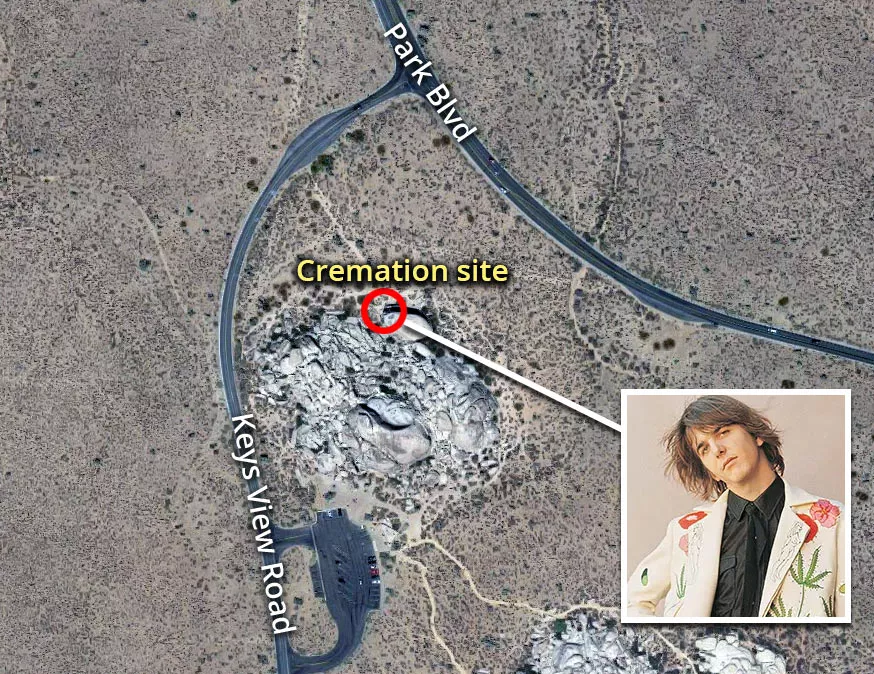
The GPS coordinates are 33.990496, -116.163558.
Follow
Follow us on social media: