Map: The Golden State Killer's house
8316 Canyon Oak Drive, Citrus Heights, CA 95610
The house and its related locations are marked below.
GPS Coordinates
38.714747, -121.253047
38°42'53.09"N 121°15'10.97"W
Get Directions
Open this location in your preferred maps app:
Main Article
The map above belongs to the following article:
Serial Killer House · Citrus Heights, California
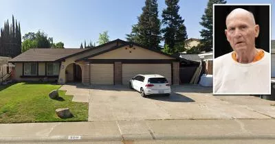
The Golden State Killer's house
The Golden State Killer, Joseph James DeAngelo, lived at this house in Citrus Heights until his arrest in April 2018.
Between 1974 and 1986, DeAngelo targeted dozens of victims in three separate crime sprees.
Related Locations
The following locations are related to the house. Please note that the descriptions for these images may lack context if you have not read the main article.
DeAngelo's Ford on Google Street View
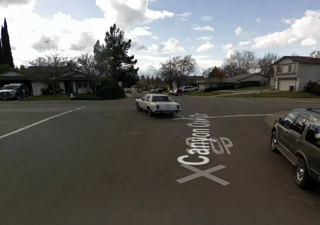
In February 2009, the Google Street View car captured his Ford LTD Crown Victoria turning south at the intersection between Twin Oaks Avenue and Canyon Oak Drive.
Follow
Follow us on social media: