Map: The street where Big L was killed
45 West 139th Street, Harlem, NY 10037
The site and its related locations are marked below.
GPS Coordinates
40.816131, -73.937415
40°48'58.07"N 73°56'14.69"W
Get Directions
Open this location in your preferred maps app:
Main Article
The map above belongs to the following article:
The street where Big L was killed
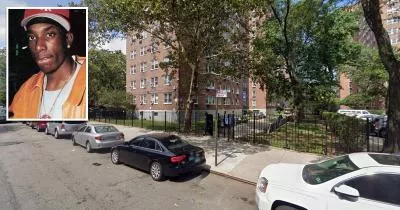
Crime Location in Harlem, New York
In February 1999, a gunman shot up-and-coming rapper "Big L" outside 45 West 139th Street in Harlem.
His murder remains unsolved.
Related Locations
The following locations are related to the site. Please note that the descriptions for these images may lack context if you have not read the main article.
Album cover
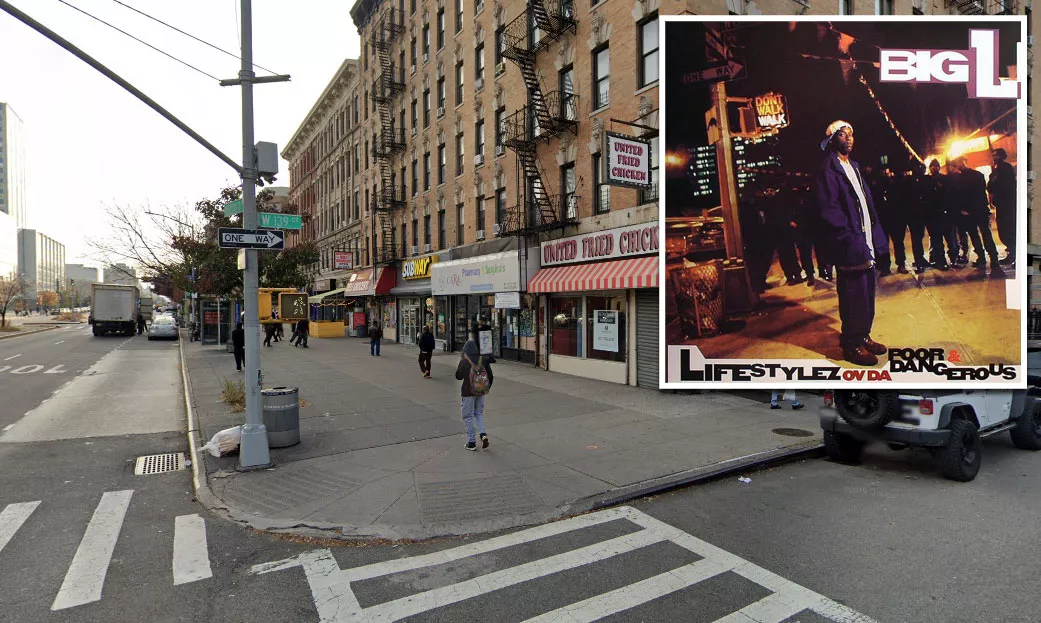
The cover photograph for Big L's album "Lifestylez ov da Poor & Dangerous" was taken on the corner of Malcolm X Boulevard (Lenox Avenue) and West 139th Street. The corner is less than 200 yards away from the site where he was killed.
Big L's home
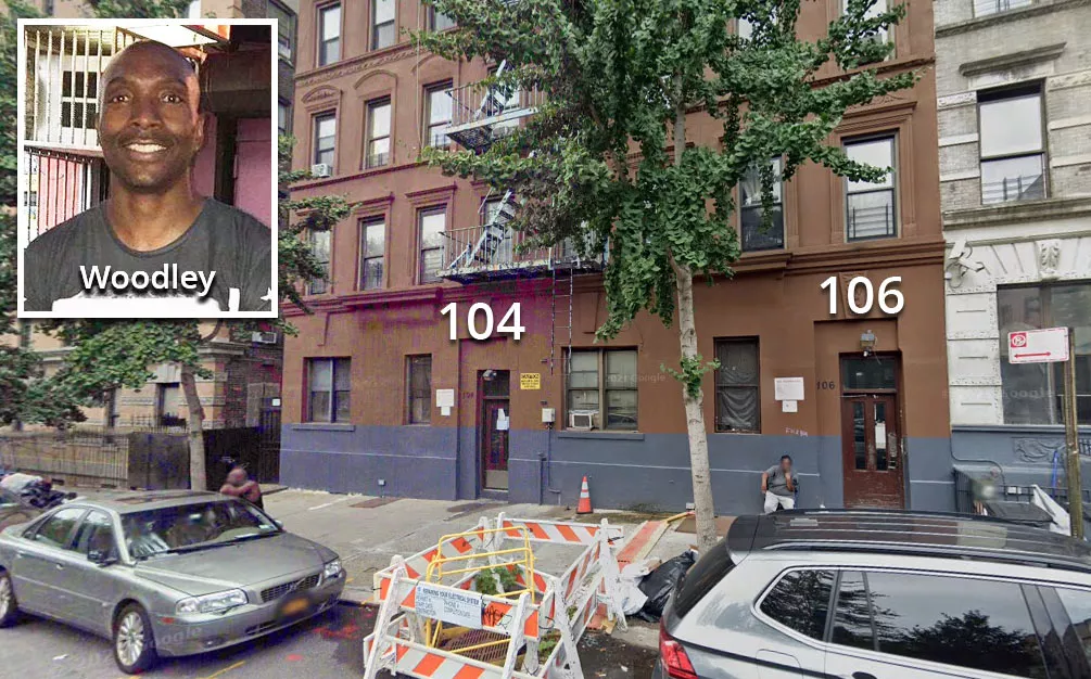
Big L lived at 104 West 139th Street, which is just a few feet west of the corner where his album photo was taken. Interestingly, the suspect in his murder, Woodley, was gunned down outside 106 West 139th Street, which is right next door.
Follow
Follow us on social media: