Her's crash site
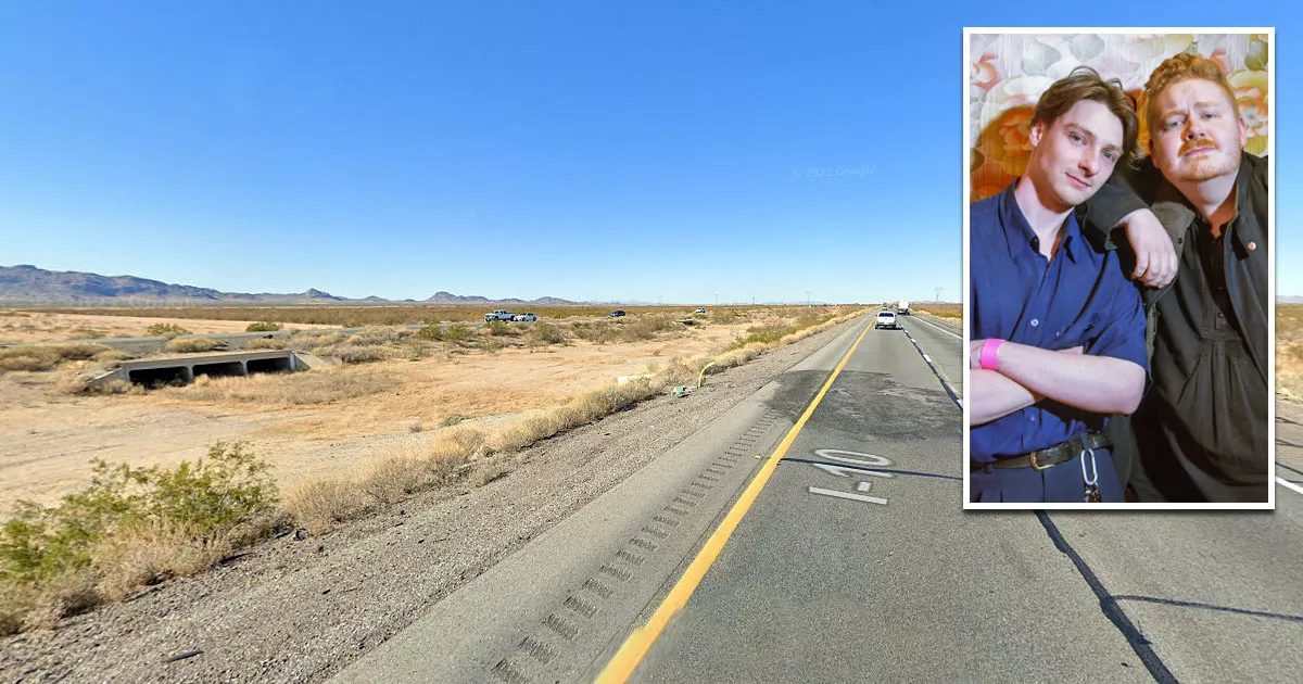
This is the location where the band "Her's" died in a car crash.
It is situated on Interstate 10 near Salome, Arizona.
The collision occurred near milepost 68, which is about 2 miles west of an area called Centennial.
To find the exact site, you can use the coordinates in the Directions section below.

Her's was a popular, two-man indie rock band from Liverpool, England. The duo consisted of Stephen Fitzpatrick (24) and Audun Laading (25).
In March 2019, they flew to the United States to promote their debut album, "Invitation To Her's."
On March 26, 2019, the band performed at the Rebel Lounge in Phoenix, Arizona. Following the gig, they left in a van that was being driven by their tour manager, Trevor Engelbrektson.
Their next stop was Santa Ana, California, where they were scheduled to perform the following day.

Google Maps shortcut
Santa Ana was a long, six-hour drive away. Consequently, they decided to make up some ground by traveling overnight.
At around 1 a.m. on March 27, they were driving westbound along this section of the I-10 when they were struck by a Nissan pickup truck that was traveling in the wrong direction.
The high-speed, head-on collision caused both vehicles to burst into flames.

Fitzpatrick, Laading, and Engelbrektson were all killed by the impact and ensuing fire. The driver of the other vehicle, Francisco Rebollar (64), also died.

Although it is unknown why Rebollar was driving in the wrong direction, the police stated that they found alcohol among the wreckage. Members of the public had also called 911 to report that a Nissan pickup truck was traveling eastbound in the westbound lane.

Rebollar inexplicably drove for four miles in the wrong direction before the collision occurred.
Engelbrektson was driving along a dark, rural highway that had a 75 mph (120 km) speed limit. The darkness, the presence of other vehicles, the oncoming headlights in the eastbound carriageway, and the unexpected nature of such an event would have made it difficult for him to react in time.
To complicate matters, swerving to avoid a wrong-way driver can lead to a head-on collision, as they will often attempt to divert their course at the exact same moment.

When two pedestrians walk into each other, it can lead to an awkward "sidewalk dance."
However, when it comes to driving, the result is far more tragic.
Location
The address and GPS coordinates for the site are as follows:
Address
Interstate-10, Salome, AZ 85348, USA
GPS Coordinates
33.573829, -113.383243
33°34'25.78"N 113°22'59.67"W
Get Directions
Open this location in your preferred maps app:
Area Information
La Paz County is situated in the west of Arizona.
📍 It is on the westbound lane of the I-10 in La Paz County, roughly 70 miles west of Phoenix.
Map Viewer
There is more than one location associated with this entry. To view these places on one map, you can use the following feature:
Categories
CelebritiesClosest Locations
Other locations that are relatively close to this address:
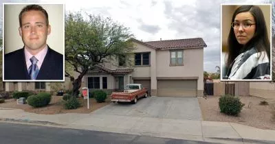
Place of Interest · Scottsdale, Arizona
The restaurant where Shanann Watts had her last meal
Roughly 105 miles away.