Map: Matthew Hoffman's house
49 Columbus Road, Mount Vernon, OH 43050
The house and its related locations are marked below.
GPS Coordinates
40.385279, -82.488573
40°23'07.00"N 82°29'18.86"W
Get Directions
Open this location in your preferred maps app:
Main Article
The map above belongs to the following article:

Matthew Hoffman's house
Crime Location in Mount Vernon, Ohio
In November 2010, a tree-obsessed burglar named Matthew Hoffman murdered three people at a rural property in Howard, Ohio.
Following the killings, he kept a 13-year-old girl captive at this house in Mount Vernon.
Related Locations
The following locations are related to the house. Please note that the descriptions for these images may lack context if you have not read the main article.
Tina Herrmann's house
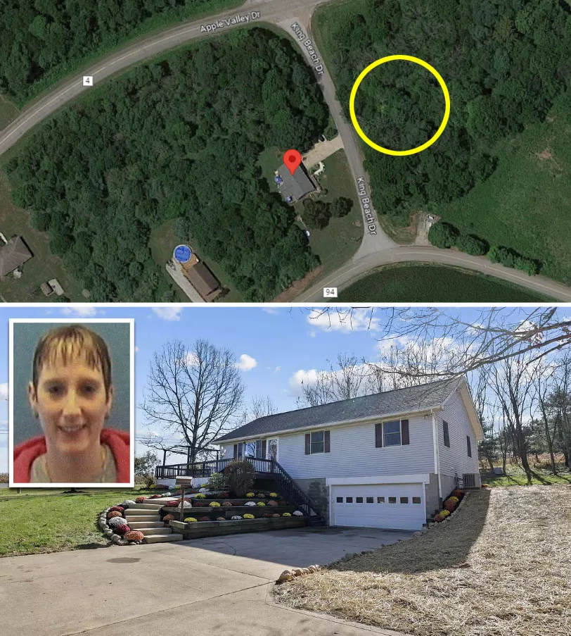
Image source: Google Maps
Herrmann lived at 481 King Beach Drive in Howard, Ohio, which is roughly 10 miles east of Mount Vernon.
Bodies (approximate)
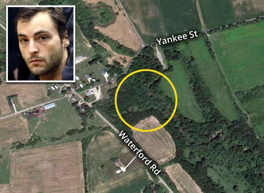
The site is roughly five miles north of Fredericktown. Note that the coordinates below are approximate.
Herrmann's truck
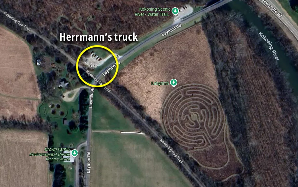
Herrmann's truck was found parked beside the Kokosing Gap Trail on Laymon Road. The site is near the Brown Family Environmental Center, a 700-acre nature preserve that is part of Kenyon College.
Follow
Follow us on social media: