Map: The Blue Rock Springs murder site
Columbus Parkway, Vallejo, CA 94591
The parking lot and its related locations are marked below.
GPS Coordinates
38.125834, -122.191085
38°07'33.00"N 122°11'27.91"W
Get Directions
Open this location in your preferred maps app:
Main Article
The map above belongs to the following article:
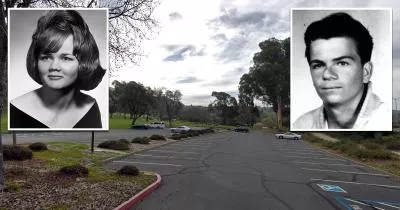
The Blue Rock Springs murder site
Crime Location in Vallejo, California
In July 1969, the Zodiac Killer shot Darlene Ferrin and Michael Mageau in this parking lot beside Blue Rock Springs Park in Vallejo.
Michael survived the attack, while Darlene passed away from her injuries.
Related Locations
The following locations are related to the parking lot. Please note that the descriptions for these images may lack context if you have not read the main article.
Shooting
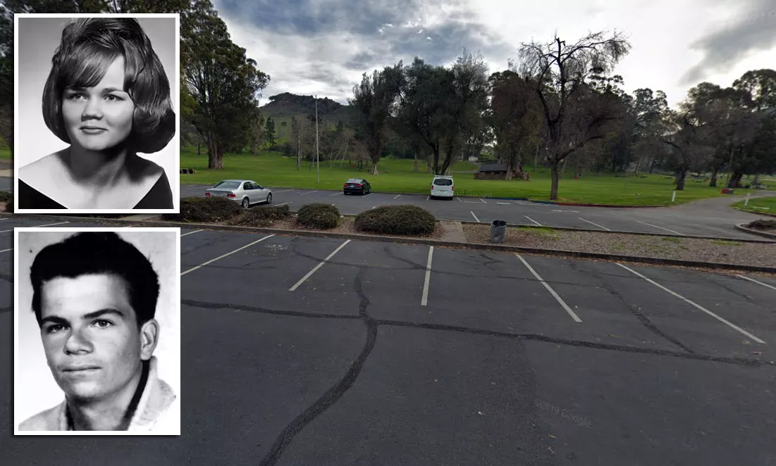
Judging by crime scene drawings and old aerial photographs, the shooting took place at this general location.
Note that the section of the lot that sits beyond the divider did not exist at the time.
In 1969, a stone fence stood where the current divider is.
Follow
Follow us on social media: